
Kazakhstan and Kyrgyzstan share a long mountain border. They offer different kinds of trekking. This guide helps you choose one, or combine both, using facts you can check.
- The two countries sit side by side, with Almaty and Bishkek close to the frontier.
- June to September is the practical window for the higher routes.
- A rental car, a private driver or an organised tour is the easiest way to link the two.
How close are the two countries, really?
Closer than most trekkers expect. The border between them runs for 1,212 kilometres. It starts at the tripoint with Uzbekistan and ends at the tripoint with China.
Both capitals-in-waiting for your trip sit almost on the line. Bishkek is about 16 km south of the boundary. Almaty is about 29 km to the north of it. That is why one itinerary can cover both countries without a flight.
The line also follows the mountains. It runs along the Kyrgyz Ala-Too range, then traces the Chu river past Bishkek. Later it crosses the Kungoy Ala-Too range, north of Lake Issyk-Kul. The same Tian Shan system therefore sits on both sides.
The border is a Soviet-era creation. Infrastructure was built without regard to what were then internal boundaries. One example is a Kazakh railway line that briefly passes through Kyrgyzstan.
What does each country offer on foot?
Think of it as two approaches to the same range. One is built around remote road trips between sights. The other is built around trekking in the mountains and valleys around Issyk-Kul.
Kazakhstan: canyons, lakes and long drives
Southeastern Kazakhstan has a spread-out set of destinations. They include:
- Altyn Emel National Park, known for the Singing Dunes and the colourful Aktau range.
- Charyn Canyon and its Valley of Castles.
- Lake Kaindy.
- The Kolsai Lakes.
Reaching these by shared taxi can mean several transfers. A tour or your own vehicle makes this part far simpler.
Kyrgyzstan: Tian Shan treks and Issyk-Kul
Eastern and northern Kyrgyzstan put mountains, lakes and canyons within easier reach of each other. Karakol is the base for the Ala Kul trek. Jeti Oguz and Skazka Canyon lie around Issyk-Kul.
Once you are inside Kyrgyzstan, marshrutkas, shared taxis, private drivers and tour operators make onward travel relatively straightforward.
Kyrgyzstan is also landlocked and highly mountainous, lying in the Tian Shan and Pamir ranges. That terrain shapes everything about how you move through it.
How do you get to the trailheads from Almaty and Bishkek?
Your arrival city sets the tone. Almaty is the natural start for southeastern Kazakhstan. Bishkek is the natural finish, or start, for northern Kyrgyzstan.
Almaty is a good base for a first day or two. It sits below the snow-capped Tian Shan. Big Almaty Lake is a short taxi ride from the city. Ordering a car through an app is the simple way to get there.
For the Kazakh sights, plan on a multi-day loop. A four-day tour covering Altyn Emel, Charyn Canyon, Lake Kaindy and Kolsai Lakes is one practical way to do it. Some parts are hard to manage with shared taxis.
For Kyrgyzstan, the key point is the crossing. The Karkara border crossing links the Kegen area of southeastern Kazakhstan with the Karakol region of Kyrgyzstan. It suits a route that heads east from Almaty and finishes in Bishkek.
Transport options for linking the two, in short:
- Rental car: the most flexible. Check that the company allows international border crossings.
- Shared taxis and marshrutkas: usually the cheapest option inside Kyrgyzstan, but less predictable.
- Private driver or organised tour: the easiest if you want to avoid multiple transfers.
When is the best time to go?
June to September is the practical window. Mountain roads and hiking routes are accessible. The higher areas around Kolsai, Kaindy, Ala Kul and Altyn Arashan are more realistic then.
July and August are the warmest months. They are also the busiest. June and September are a good compromise, but mountain weather is less predictable.
Snow can linger at higher elevations well into summer. If Ala Kul is your priority, check current trail and weather conditions before you set out. Do not assume a pass is clear because the calendar says so.
Keep a margin in your schedule. A day lost to weather is normal in these ranges. A tight itinerary turns one bad morning into a missed flight.
Which one should you pick, and how do you plan the risk?
Choose by the kind of trip you want, not by a ranking.
- Pick Kazakhstan if you want canyons, dunes and alpine lakes linked by road, and you are happy to hire a driver or join a tour.
- Pick Kyrgyzstan if you want a multi-day trek, easier onward transport and a base such as Karakol.
- Pick both if you have two weeks or more. The route from Almaty to Bishkek links them naturally.
Two weeks is enough to see the major highlights of both. It is not slow travel. Several days involve long drives or a change of vehicle. With three weeks or more, add time in Almaty, Karakol or around Issyk-Kul.
Plan for the day something goes wrong. Many routes are remote, and a road transfer can be long. Buy travel insurance before you leave. Confirm that it covers trekking and medical evacuation from remote terrain. Read the exclusions on altitude and on activities.
Carry a way to call for help where there is no mobile signal. Tell someone your route and your return date. Hire a local guide for any route you cannot navigate with confidence.
Costs and permit rules change. Check current visa rules, border permit requirements and prices with official sources and local operators before you commit. Treat any single per-day figure you find online with caution.
Frequently asked questions
Can you trek in both Kazakhstan and Kyrgyzstan on one trip?
Yes. The two countries share a long mountain border, and Almaty and Bishkek lie close to it. A two-week route can run from Almaty through southeastern Kazakhstan, cross into Kyrgyzstan, and finish in Bishkek.
Which border crossing links the two trekking regions?
The Karkara crossing connects the Kegen area of southeastern Kazakhstan with the Karakol region of Kyrgyzstan. It suits a route heading east from Almaty. If you rent a car, check that the company permits international border crossings.
When is the best time to trek there?
June to September is the practical window. July and August are warmest and busiest. June and September are quieter, but mountain weather is less predictable, and snow can linger at higher elevations.
Do you need a car, or can you use public transport?
Public transport works for parts of the route, especially inside Kyrgyzstan. Remote sites in southeastern Kazakhstan can need several taxis and transfers. A rental car, private driver or tour is simpler there.
Related reading
- Kolsai Lakes and Kaindy: Walking the Drowned Forest and the Three-Lake Valley of Kazakhstan
- The Fann Mountains of Tajikistan: Turquoise Lakes, High Passes and the Seven Lakes Valley
Sources
- Kazakhstan–Kyrgyzstan border (en.wikipedia.org, accessed 2026-11-04)
- A two week Kazakhstan & Kyrgyzstan itinerary (adventuresoflilnicki.com, accessed 2026-11-04)
- Kyrgyzstan — Wikipédia (en.wikipedia.org, accessed 2026-11-04)
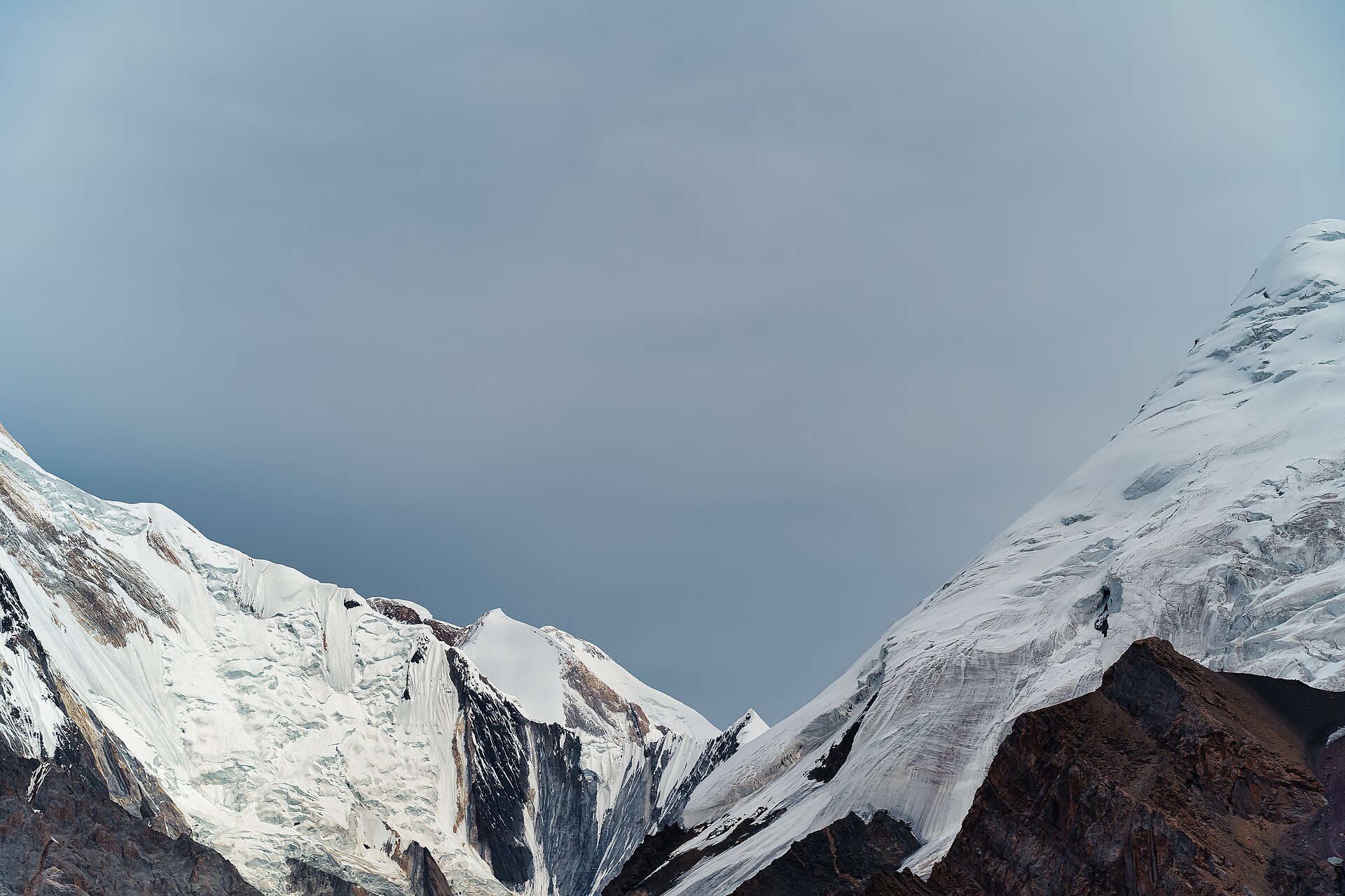
Photo: View between Khan Tengri Peak and Pik Trekhglavy, Central Tian Shan, Kyrgyzstan, by Maryliflower, CC BY-SA 4.0 (Wikimedia Commons)