
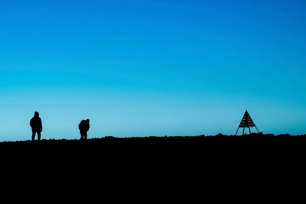
The High Atlas is the closest big mountain range to Western Europe, three hours by air from most capitals and then ninety minutes by road from Marrakech to the trailhead. That proximity has made Toubkal, at 4,167 m the highest peak in North Africa, one of the most walked summits outside the Alps. It has also hidden the rest of the range. Four hours east of Toubkal by road, the valley of the Ait Bougmez offers a different High Atlas: mud-brick villages, walnut groves, irrigated terraces and the long quiet ridges around M’Goun, the second-highest summit at 4,071 m. We think the two belong in one trip, and this piece explains how.
Toubkal from Imlil
Everything on Toubkal starts in Imlil, a village at 1,740 m at the end of the tarmac road from Marrakech, about 65 km away. The standard ascent takes two days. The first climbs the Mizane valley through the hamlet of Aroumd at about 1,900 m and past the shrine of Sidi Chamharouch at 2,350 m, where the path crosses a stream and the last trees give way to bare rock, to the refuges at 3,207 m. It is roughly 11 km with 1,450 m of ascent, four to six hours for a fit walker with a light pack, and the refuges provide bunks, meals and a warm room.
The summit day leaves before dawn. The route climbs the scree of the south cwm, crosses a shoulder at about 3,900 m and follows the summit ridge to the iron pyramid on top, 960 m of ascent in three to four hours. The descent to the refuge takes two hours, and most people continue down to Imlil the same afternoon. There is no scrambling in summer conditions but the scree is loose and tiring, and at 4,000 m the air is thin enough to feel. From the summit on a clear day the view runs from the Marrakech plain to the pre-Sahara, with the whole crest of the range at your feet.
Season, snow and the rules
Toubkal is walkable from late April to October. In May and June there is still snow on the summit slopes and a firm crust in the morning; from July to September the mountain is dry and the valleys at Imlil hit 30 degrees C while the refuge nights hover near freezing. From November to April this becomes a winter mountain, with hard snow, ice and avalanche risk, and needs crampons, an ice axe and the skills to use them. Since 2019 a licensed mountain guide has been mandatory for the ascent, checked at a police post above Imlil, and walkers have to register when entering the national park. Solo attempts are turned back. The refuges are busy in summer and on holiday weekends; book bunks ahead through the refuge itself.
Acclimatising the sensible way
Two days from 1,740 m to 4,167 m is fast, and altitude headaches on summit morning are the most common reason people turn around. The cure is an extra day or two, and the mountains around Imlil provide it. A loop over the Tizi Mzik pass at 2,489 m into the Azzaden valley and back takes a full day, and the circuit from the refuge over the Tizi n’Ouanoums at 3,664 m to Lake Ifni at 2,295 m and around the massif is a fine three or four day trek in its own right. Better still, sleep for a night or two in a village guesthouse at Aroumd or in the Azzaden valley before the refuge day, and use the mornings to walk high and come back.
The Ait Bougmez: the valley that stayed put
East of Toubkal, beyond the Tizi n’Tichka pass and the town of Azilal, the road drops into the Ait Bougmez, a broad valley at about 1,800 to 2,200 m that was only connected by tarmac in the early 2000s. It is often called the Happy Valley, and for once the name fits. Twenty or so villages of rammed earth and stone sit along the river, each with its walnut trees and a patchwork of barley, maize and apple terraces watered by channels dug centuries ago. The main village, Tabant, at about 1,850 m, has a weekly market and the valley’s only bank of guesthouses; beyond it the side valleys climb towards the M’Goun massif. The people are Amazigh, or Berber, and Tamazight rather than Arabic is what you will hear in the fields.
The walking here is easier and more varied than on Toubkal. Day walks link villages along the valley floor and climb to the ridges above them; two- and three-day loops cross the passes into the neighbouring valleys. The big objective is M’Goun itself, usually done as a four- to six-day circuit from the head of the valley: over the Tizi n’Ait Imi pass at about 2,900 m, up the long summit ridge to 4,071 m, and back through the gorges of the M’Goun river, where the trail wades the river bed for hours between cliffs. It is longer and wilder than Toubkal and sees a fraction of the traffic.
- Best months for the Ait Bougmez are April to June and September to October; July and August are hot in the valley and thunderstorms build over the ridges in the afternoon.
- Village guesthouses provide beds and meals; mules carry gear on the circuits, and a local guide is the norm even where not required.
- Water is plentiful but should be treated everywhere below the springs; the irrigation channels are shared with the fields and the livestock.
- Dress modestly in the villages, ask before photographing anyone, and buy bread and walnuts where you sleep.
Putting the two together
Ten days is enough. Fly into Marrakech, drive to the Ait Bougmez the same day and spend four or five walking the valley and, if the legs allow, M’Goun; the altitude gained there, sleeping at 2,000 m and climbing to 4,000 m, is the best possible preparation. Then transfer to Imlil, take one gentle day in the Mizane valley and go for Toubkal fresh and acclimatised. Done in this order the summit is a pleasure instead of a headache, and you will have seen the High Atlas as it really is: not a mountain with a car park at the bottom, but a range where people have farmed at 2,000 m for a thousand years and still do.
Read next: Hiking in the Atlas Mountains of Morocco: Ranges, Seasons and a Four-Day Route