
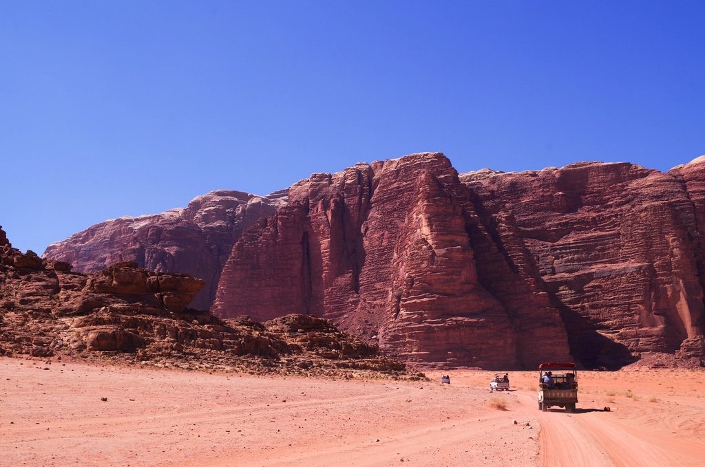
Oman’s Hajar Mountains are not what most people picture when they think of the Arabian Peninsula. They form a 700 km arc of grey and ochre limestone between the Gulf of Oman and the interior desert, rising in the Western Hajar to a plateau above 2,000 m and a single high point, Jebel Shams, the Mountain of the Sun, at 3,009 m. Beside it the land falls away into Wadi Ghul, a canyon roughly a kilometre deep that Omanis have long called the Grand Canyon of Arabia, without much exaggeration. We came here for three days on our first visit and stayed six. The walking is superb, the villages are among the most remarkable in the region, and the whole area is reached on a good road from Nizwa in under two hours.
The mountain and its canyon
Jebel Shams is a broad, tilted block rather than a peak, and its highest point is inside a military zone that is closed to walkers. The accessible summit is a secondary top on the southern side, just under 3,000 m, and it is reached by an official waymarked trail. The government has numbered the walking routes of the country with a W prefix and painted them with yellow, white and red flashes, which makes navigation in this bare landscape far easier than it looks from the road.
Wadi Ghul, also known in its upper part as Wadi an Nakhur, cuts into the plateau from the south. Its walls are sheer limestone, layered like a cake, and drop from about 2,000 m at the rim to just over 1,000 m on the canyon floor. At the mouth of the canyon, beside the road that climbs to the plateau, the old village of Ghul stands abandoned on a rock spur above the modern village, a maze of mud-and-stone houses with a fortified tower and terraces still fed by a falaj, the traditional irrigation channel. It is worth an hour on the way up or down.
The Balcony Walk
The route officially numbered W6a is known to everyone as the Balcony Walk, and it is the single most rewarding half-day in Oman. It starts at the hamlet of Al Khitaym, at the end of a rough track on the plateau at about 1,900 m, and follows a ledge along the western wall of Wadi Ghul for about 4 km to the abandoned village of As Sab. The path is level for most of its length, cut into a natural terrace of harder rock a few metres wide, with the canyon floor almost a vertical kilometre below on one side and the cliff on the other. The exposure is real but the path is broad and well trodden; children from the village use it, and anyone comfortable on a mountain trail will be fine.
As Sab is the surprise. A dozen stone houses, terraced fields, animal pens and a small cistern occupy a wide ledge under an overhang, with a spring that still drips into a pool. The village was inhabited into the 1980s and the residents walked this same path to reach the outside world. Beyond the houses the ledge continues to a small cave and then ends at a cliff. Allow two and a half to three hours for the round trip, longer if you linger, and start early: the ledge faces east and is in full sun by mid-morning. There is no shade on the return.
The summit trail
Route W4 is the walk to the top. It leaves the plateau near the cluster of camps and guesthouses at around 2,000 m and climbs steadily along the western side of the mountain, on a well-cairned path through juniper and wild olive, to the southern summit at roughly 2,990 m. The distance is about 9 km each way with 1,000 m of ascent, and most walkers need seven to nine hours for the round trip. There is nothing technical, but the path is rocky throughout and the altitude is enough to make the last hour slow for anyone arriving from sea level the day before.
The view from the top takes in the whole of the Western Hajar: the canyon at your feet, the Saiq plateau of Jebel Akhdar to the east, the desert plains to the south, and on clear winter days the coast beyond Rustaq. Camping near the summit is possible and popular in the cool months; a night at 2,900 m under the clearest skies in Arabia, followed by sunrise over the canyon, is one of the great experiences of the region. Water must be carried up; there is none on the mountain.
Seasons, heat and cold
The Hajar are a winter range. From October to April, days on the plateau are pleasant at 15 to 25 C, and the canyon floor is warm rather than hot. Nights are another matter. Frost is common on the plateau from December to February, snow falls on Jebel Shams most winters, and temperatures at the summit can drop to minus 5 C. A proper sleeping bag and a warm jacket are essential for camping, even when the coast below is at 30 C. From May to September the lowlands are brutally hot, 45 C at Nizwa is normal, and while the plateau is 15 degrees cooler, the summit trail becomes an early-morning-only proposition. The other seasonal hazard is rain. Storms are rare but violent, and wadis flood within minutes; never walk or camp in a canyon bed when clouds are building over the mountains.
Practical notes
- A four-wheel-drive is needed for the last stretch to Al Khitaym and useful for the plateau in general; the tarmac ends below the top.
- No permits are required for the walks, and the trails are free; the summit zone itself is off limits and clearly fenced.
- Guesthouses and camps on the plateau provide beds, meals and water; the nearest shops and fuel are in the village of Al Hamra, 40 km below.
- Carry at least 3 litres per person for the Balcony Walk and 4 for the summit; the dry air disguises fluid loss.
- Dress conservatively in villages, with shoulders and knees covered for everyone.
- Mobile coverage is good on the plateau and absent in the canyon.
Beyond Jebel Shams
If you have more days, the villages on the northern side of the range make a fine follow-up. Misfat al Abriyeen, 30 km from Ghul, is a terraced oasis of mud houses, date palms and falaj channels clinging to a cliff, and a rock-cut path drops from the village into the wadi below and continues for hours through banana and lime groves. Further east, the Saiq plateau of Jebel Akhdar at 2,000 m has its own network of numbered trails between rose terraces and abandoned villages. Together with the summit and the Balcony Walk, they make a week that we would put beside any mountain destination in the Middle East.