
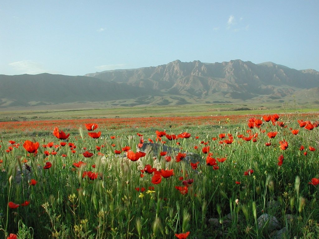
Armenia is a country most walkers still discover by accident, on the way to somewhere else, and then wonder why they did not come sooner. The Transcaucasian Trail is changing that. It is a long-distance project meant to run for around 3,000 kilometres across Georgia, Armenia and Azerbaijan, following the two ranges of the Caucasus. The Armenian section, roughly 830 kilometres from the northern border with Georgia to the southern border with Iran, was completed and waymarked in 2022. It is the first time the whole country has been walkable on a single continuous route, and Dilijan is the best place to start.
What the trail is, and what it is not
The Transcaucasian Trail is not a wilderness route. It links villages, monasteries, high pastures and old roads, and it is designed to be walked in sections with nights in family homes as often as in a tent. The Armenian line runs north to south through the Lori forests, over the Bazum and Pambak ranges, along the shore of Lake Sevan, across the volcanic plateau of Vardenis, through the canyons of Vayots Dzor and down to Meghri. Waymarking is painted blazes and small signposts, mostly reliable, sometimes faded. A downloaded track on a phone is still essential.
The trail crosses sensitive border zones in a few places. In practice this means staying on the marked line, carrying a passport, and being ready to explain yourself politely to a checkpoint. It is nothing more dramatic than that.
Dilijan: the forest town
Dilijan sits at around 1,250 to 1,500 metres in the Aghstev valley, about 100 kilometres north-east of Yerevan and less than two hours by minibus. It is green in a way most of Armenia is not: oak and beech forest climbs every slope, mist sits in the valley in the morning, and the town has old wooden balconies and a reputation as a summer retreat that dates back to the Soviet years. The surrounding national park, established in 2002, covers around 240 square kilometres of forest and ridge.
For walkers the town works as a hub. Guesthouses are plentiful and cheap, there is a proper market, and the trail passes straight through. Three or four day walks radiate from here, and we found that a week based in and around Dilijan made a full trip without ever repeating ground.
Dilijan to Parz Lake and on to Gosh
The classic first day follows the trail east from the edge of town to Parz Lake, a small green lake at about 1,400 metres. It is roughly 13 kilometres on forest paths and old logging tracks, with a few hundred metres of gentle climbing and one open ridge with views back over the town. In summer the lake is a busy picnic spot, with boats and cafes; in October it is quiet, with the beech turning copper.
From Parz Lake the route continues over a forested ridge to the village of Gosh, another 8 kilometres or so, and drops to Goshavank, a monastery complex from the 12th and 13th centuries with one of the finest carved stone crosses in the country. Villagers in Gosh host walkers, and a night here, with home-made cheese and the bread baked in a clay oven, is the trail at its best.
Haghartsin and the Aghstev forests
A second day walk leads to Haghartsin, a monastery from the 10th to 13th centuries tucked into a side valley north-east of Dilijan. The forest path from town is about 10 kilometres and follows the ridgeline before dropping to the monastery, which is the busiest site in the region. Arrive on foot in the morning and it is empty; by midday the coaches have arrived from Yerevan. From Haghartsin the route can loop back on the road or continue over the hill to Parz Lake, making a fine three-day circuit of forest, lake and stone.
These are not high mountains. The ridges around Dilijan top out at 2,000 to 2,500 metres and the paths rarely leave the trees for long. The difficulty is heat in July, mud after rain, and navigation in forest where every track looks like the trail. The rewards are shade, springs every few kilometres and villages that see few foreigners.
Heading north to Lori or south to Sevan
From Dilijan the trail offers two obvious longer sections. North, it climbs over the Pambak range and descends into the Debed canyon and the Lori region, passing near the UNESCO-listed monasteries of Haghpat and Sanahin. This is five to seven days of forest, gorge and village walking, and the canyon rim paths are some of the best in the country.
South, the route crosses the Sevan pass and drops to Lake Sevan at about 1,900 metres, one of the largest high-altitude freshwater lakes in the world, before turning along its eastern shore and up onto the Vardenis plateau. The scenery changes completely: bare volcanic hills, cold wind, shepherd camps and the first real altitude. Either direction is a proper trek and both can be reached from Dilijan by public transport at the end.
Practical notes for the Armenian sections
The walking season around Dilijan runs from May to late October; the southern volcanic sections are best from late June to September, when snow has cleared from the higher passes. Village homestays are common along the trail and can usually be arranged the day before through local contacts, though we carried a tent for the empty stretches. Public drinking fountains, found in almost every village, provide clean water; in the forest we filtered from streams.
- Trail length: about 830 kilometres for the full Armenian section, walkable in around 40 days.
- Dilijan to Parz Lake: 13 kilometres; Parz Lake to Gosh: 8 kilometres; Dilijan to Haghartsin: 10 kilometres.
- Elevation: 1,250 to 2,500 metres around Dilijan; up to 3,000 metres on the southern plateaus.
- Money and food: cash only in villages; bread, cheese, herbs and fruit are cheap and everywhere.
We arrived in Dilijan for three days and stayed nine. Armenia rewards slowness, and the trail, still young and still growing, is the most honest way we know to see the country: one village, one monastery and one ridge of beech forest at a time.
Read next: Kazbegi Beyond Gergeti: Planning Your Base in Stepantsminda