
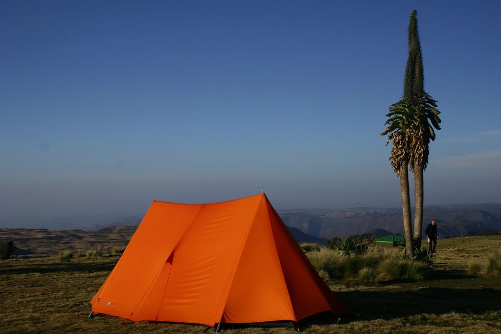
Everything else in this magazine assumes that the walk goes roughly to plan. This article is about the day it does not: a broken ankle two days from the nearest road in the Simien Mountains, pulmonary oedema at 4,700 metres on Kilimanjaro, a horse accident in a Kyrgyz side valley, heat stroke in Wadi Araba. In each of these regions, the distance between a bad moment and a hospital is measured in days rather than hours, and the systems that close that gap are not automatic. They have to be bought, carried and tested before departure. We have made most of the mistakes described below at least once.
What ordinary travel insurance does not cover
A standard travel policy typically covers walking below 2,000 or 3,000 metres on marked trails, and stops there. Read the activity clauses. Most policies exclude altitude above a stated limit, which may be 3,000, 4,500 or 6,000 metres depending on the tier bought; some exclude trekking with ropes, glacier travel, or any walking without a licensed guide; and many exclude countries or regions under a government travel advisory, which affects parts of Ethiopia, the Sinai and border areas of the Caucasus at various times. Kilimanjaro’s summit at 5,895 metres and Mount Kenya’s Point Lenana at 4,985 metres both fall above the default limit of many policies. So do the higher passes of the Tian Shan.
The clause that matters most is search and rescue. Medical cover pays for the hospital. It does not necessarily pay for the helicopter, the vehicle, the stretcher team or the flight home. A policy for remote trekking should state, in writing, that it covers emergency evacuation by helicopter and ground from the point of injury, and repatriation by air ambulance if needed. A helicopter evacuation in East Africa or the Caucasus can cost several thousand to well over ten thousand euros, and the operator will want a guarantee of payment before it takes off.
How evacuation actually works in these regions
The word helicopter creates false confidence. In much of our range, there is no rescue helicopter at all. On Kilimanjaro, evacuation from the higher camps is on foot or by a wheeled stretcher to a road, then by vehicle to hospital in Moshi or Arusha, and a helicopter service exists but depends on weather, daylight and a confirmed payer. In the Simien Mountains there is no air rescue; a casualty is carried by mule or by the crew to the park road, which can take a day. In Jordan, civil defence and the military respond, and the trail’s more remote sections have vehicle access at intervals. Georgia has a state mountain rescue service and some helicopter capacity around Kazbegi and Svaneti. Kyrgyzstan relies on private aviation and on the horse.
The practical consequence is that the first hours of any incident are handled by the group and the local crew, not by anyone flying in. A guide with a first aid qualification, a stretcher or a way to improvise one, and a means of communication are the real rescue system. Insurance and the satellite messenger start the second phase.
Satellite messengers: what they do and what they cannot
A satellite messenger is a small device that sends and receives short messages, shares position, and triggers an SOS through a commercial satellite network to a monitoring centre, which then contacts local rescue and your emergency contacts. Some smartphones now offer a limited version of the same emergency function in certain countries, but coverage in the regions we walk is patchy and is not a substitute for a dedicated device with a subscription.
What the SOS actually does is worth understanding before it is pressed. The monitoring centre receives a location and a short message, contacts the responsible rescue authority in the country, and relays the situation to your named contacts and, if you have registered it, your insurer. It does not dispatch a helicopter itself. In a country where the rescue authority is a police station five hours away, the SOS will still reach them; what happens next depends on what exists locally. This is why we treat the messenger as a communication tool first and an alarm second, and why two-way messaging matters: it lets the group describe the injury, receive medical advice and coordinate a vehicle rather than waiting for an unspecified response.
Before every trip we check a short list:
- The subscription is active for the dates and the SOS function has been tested with a non-emergency message
- Emergency contacts hold copies of the itinerary, the insurance policy number and the insurer’s 24-hour assistance line
- Satellite devices are legal to carry and use in the country visited; some states restrict or require registration for them, and customs officials do ask
- A daily check-in time is agreed with a contact at home, and what they should do if it is missed
- Batteries, a power bank and a way to keep the device warm at night, since cold halves its life
Building the plan before leaving
A written emergency plan takes an hour and sits in the top of the pack. It lists the nearest hospitals along the route, the road access points, the guide’s and driver’s phone numbers, the local emergency numbers, the insurer’s assistance line and policy number, and a note of each walker’s medical history, allergies and medication. On a Kilimanjaro trek, that plan is largely the crew’s job, but we still carry it. In Kyrgyzstan or the Jordan desert, where the group is often alone with one guide, it is ours.
We also decide who leads if the leader is the casualty, and we make sure at least two people can operate the messenger and read the plan. A group of four in which only one person knows how the SOS works has a single point of failure standing on the same loose rock as everyone else.
The moment it happens
The sequence we practise is the same everywhere. Make the scene safe, and do not create a second casualty. Assess and treat what can be treated: bleeding, airway, warmth, shade. Decide within the first ten minutes whether the person can walk out with help, must be carried, or must not be moved. Then communicate, in this order: the guide or crew, the satellite SOS or a two-way message with the location and a plain description of the injury, and the insurer’s assistance line as soon as any phone signal exists. The insurer will want to know the location, the condition, the nearest hospital and who is organising transport, and it will want to authorise costs before they are incurred where that is possible.
While that machinery turns, the group keeps the casualty warm, monitored and calm. In the Simien or the Atlas, that can be a full day and a night. The people who cope best are not the ones with the most equipment, but the ones who read their policy, tested their device and wrote a plan before leaving the road. The systems that bring someone home from a remote valley are only as good as the preparation done in a kitchen weeks earlier.